Maps

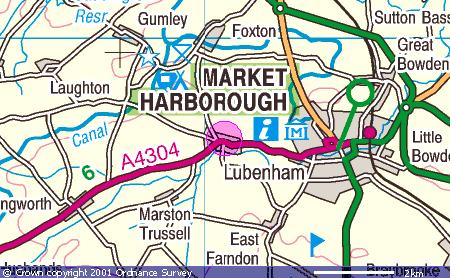
Lubenham is located on the border of Leicestershire and Northamptonshire close to the town of Market Harborough. The River Welland forms the boundary of both parish and county.


<<< zoom out | zoom in >>>


Enter an address to get directions to Lubenham:
From:
- Street
-Town, City or Postcode
- Country
To:
The centre of Lubenham Village
   

The above Image has been produced by the Ordnance Survey Get-a-map service.
Image reproduced with kind permission of Ordnance Survey and Ordnance Survey of Northern Ireland
MENU
LOCAL INFO

Bus Timetable
Church Services

Mobile Library

ASSOCIATED