When William the Conqueror gained control of the country he began to have records made of all his lands, the ownership and tenure of them, livestock and implements. This record was not completed until 1086 and is known as the Domesday Book, the first and most important record of England. In this book our village is written as 'Lubnam' with a population of 45.
William ruthlessly liquidated most of the old nobility who had opposed him; but Waltheof, son of Sigard, Earl of Northumberland, Huntingdon and Northampton, who had been of some assistance in subduing the north country, was allowed to hold his domain. William gave a part of this area, which included much of Lubnam, to a niece, the Countess Judith. Waltheof later married the Countess.
There is a large stone in the fields between Lubenham and East Farndon that is known locally as 'The Judith Stone'. Could this have been a demarcation point?
How to find the Judith Stone.
According to the Ordnance Survey Map, Pathfinder Series SP 68/78, the stone is in the parish of East Farndon; but parish boundaries in their present form didn't exist in AD 1086, and neither did the network of hedgerows that pattern the countryside these days.
The stone is nothing spectacular, but how it got there is rather curious. I am no expert in either geology or lithology, but it is a type of stone not found locally: it is an igneous rock, and I have sometimes wondered whether it is an old meteorite.
If you go down Old Hall Lane to the corner, there used to be a field gate and kissing gate. This has been altered since the farm buildings were erected and the new entrance made to the renovated Old Hall, but we used to go across the field to the railway line where there was a footbridge across the river and kissing gates either side of the railway; straight across the road then over the big field, making for the right corner of the third field from the road. [Note: the big field, which stretches between the two cattle grids, is planted, so it is best to start from the second grid, keeping to the left-hand side of the field until you reach the wide hedge at the end of the third field -just before a dead tree.]
Go over the wooden fence and follow the hedgerow through two fields, and at the far end of this second field there is a ruined shepherd's cottage on the right; but on the left, about a hundred yards or so, sits the object of our walk - the Judith Stone. 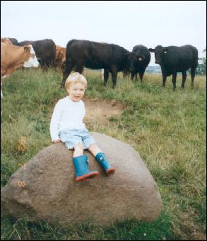
(If you wish to carry on to East Farndon, cross three more fields, over the Farndon-Marston road and across another couple of fields and you come out at the top of the village.) It is many, many years since I last traversed this path, so it may not be as straightforward as it was in my early days. Incidentally, the first field you go through from the big field is the only place locally I have found the dainty quaking grass (Briza).
The late Mr John Carter
From an article in the
Lubenham Newsletter March 2001 |